PrairiePin Lite Preview
Designed for simplicity and efficiency. Here's a closer look at the interface used to pinpoint LLD coordinates.
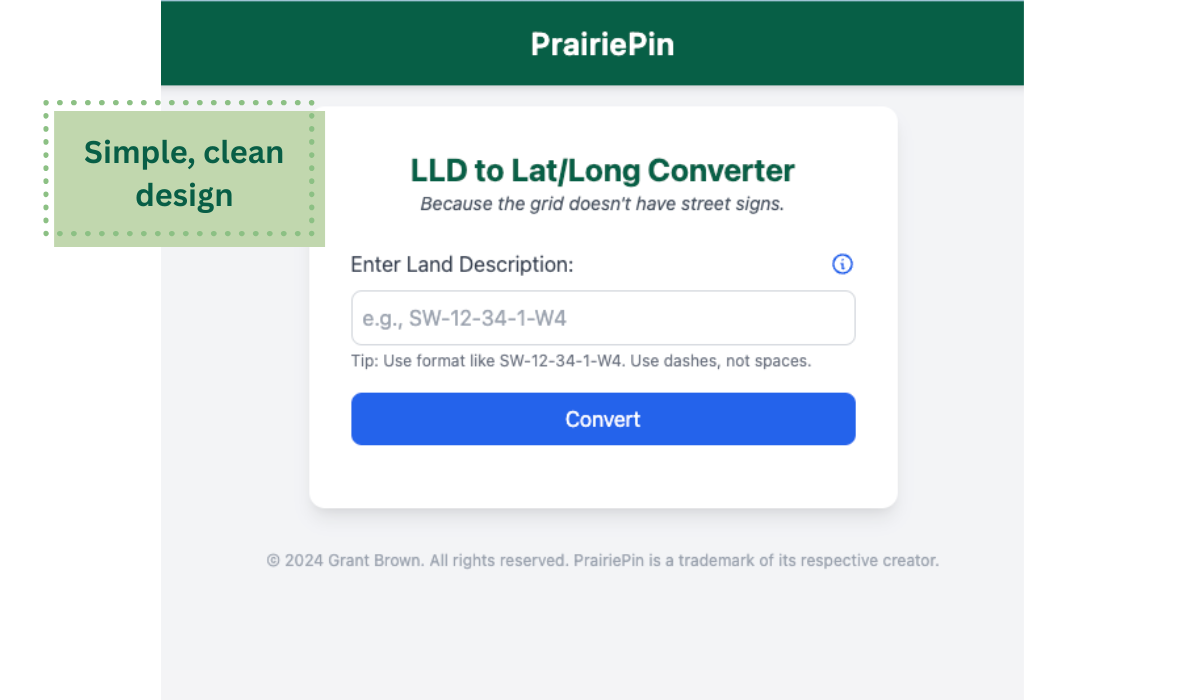
Input Screen
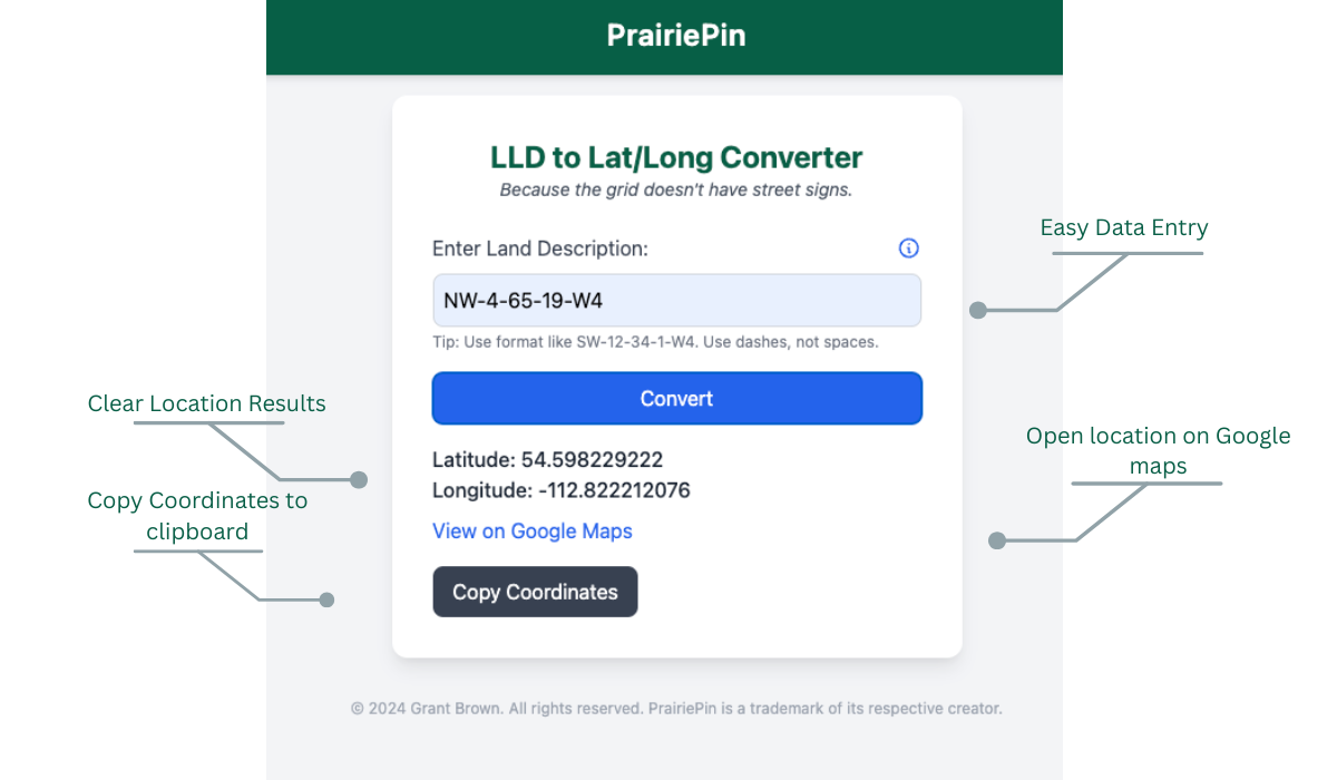
Result Screen
PrairiePin converts Dominion Land Survey (DLS) legal land descriptions into precise GPS coordinates — helping roadside support, land agents, and first responders find the unfindable.
Simple, clean design. Built for internal use with speed and ease of training in mind.
See Lite VersionA polished version coming soon — designed for broader use by industry, government, and rural services.
Coming soonCompare features of PrairiePin Lite and PrairiePin Pro
| Feature | Lite | Pro |
|---|---|---|
| Easy data entry with LLD format guidance | ✅ | ✅ |
| Clear LLD instructions for new users | ✅ | ✅ |
| Latitude & Longitude display | ✅ | ✅ |
| Open location in Google Maps | ✅ | ✅ |
| Copy coordinates to clipboard | ✅ | ✅ |
| User account management | ❌ | ✅ |
| Email alerts for account changes/system updates | ❌ | ✅ |
| Lookup history with timestamp and province | ❌ | ✅ |
| User-based & location-based statistics | ❌ | ✅ |
| Future US land data support | ❌ | ✅ |
Designed for simplicity and efficiency. Here's a closer look at the interface used to pinpoint LLD coordinates.